Relentless Rain Unleashes Dangerous Flooding Across New Jersey
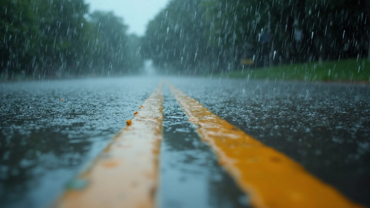
The last day of July 2025 will be remembered as the moment when New Jersey ground to a halt under sheets of rain that just wouldn’t let up. At 2:00 p.m., Acting Governor Tahesha Way declared a state of emergency, as radar lit up with reds and purples indicating downpours that could dump as much as 2 inches of rain every hour. Some unlucky neighborhoods were staring down the barrel of a possible 7-inch bottom line.
The National Weather Service didn’t mince words: flash flooding was likely, and the threat wasn’t just a soggy inconvenience. In urban areas with poor drainage and communities sitting at the bottom of hills or along flood-prone streams, first responders braced for life-threatening flash floods. Thunderstorms meandered slowly, unleashing bursts of water that overwhelmed streets, left storm drains bubbling like geysers, and threatened homes—especially those with basements at or below street level.
Storms Spark Emergencies Beyond State Borders
New Jersey may have been the epicenter, but the storm system had a wide reach. In Philadelphia, drivers abandoned vehicles caught in rising water. Emergency crews were called to rescue people stuck in deep puddles that looked more like ponds. Storm drains simply couldn’t keep up. Just over the state line in Delaware, floodwaters trapped a USPS truck and another car on Governor Printz Boulevard—forcing a risky rescue operation in the thick of the rain.
The chaos didn’t stop there. In Montgomery County, Pennsylvania, a car went under near Clearview Avenue. Lightning, another ugly part of these storms, struck a home in Towamencin Township, sparking a fire that left one family without a roof but, thankfully, with no injuries. Meanwhile, the southern half of New Jersey faced the added punch of damaging winds, hail, and the risk of tornadoes spinning up in the unstable air.
Transportation was a mess. Bumper-to-bumper traffic stretched for miles as portions of Interstate 95 crawled to a standstill. Flights in and out of the region saw delays, as pilots and airlines tried to thread planes around thunderheads and sheets of heavy rain. New York City, close on New Jersey’s northern shoulder, issued travel advisories and told residents with basement homes to get somewhere safe early—before water started rising fast.
- Flood watches and warnings blanketed local news and social media feeds statewide.
- Authorities begged everyone to avoid travel, especially between 5 and 9 p.m.—prime time for flash flooding.
- Rescue teams were on standby, with high-water vehicles staged in the hardest-hit counties.
For now, the big concern is what can still happen overnight and into tomorrow. Authorities want everyone to keep a close eye on alerts, have a go-bag handy if they live in a flood-prone spot, and remember: floodwaters can turn deadly fast, and even a few inches can carry a car away. The story isn't just about lost commutes and canceled flights—it's about staying safe while nature shows just how much power it can flex in a single day.